About SizeOnMap.com
Learn about SizeOnMap.com and discover the true size of countries and territories
What this site does
SizeOnMap.com lets you drag countries across a world map to see their true scale in relation to one another.
Why this matters
Most world maps you see every day use the Mercator projection. Mercator preserves angles and shapes for navigation, but it greatly distorts area: Greenland looks bigger than Africa, while in reality Africa is about 14 times larger.
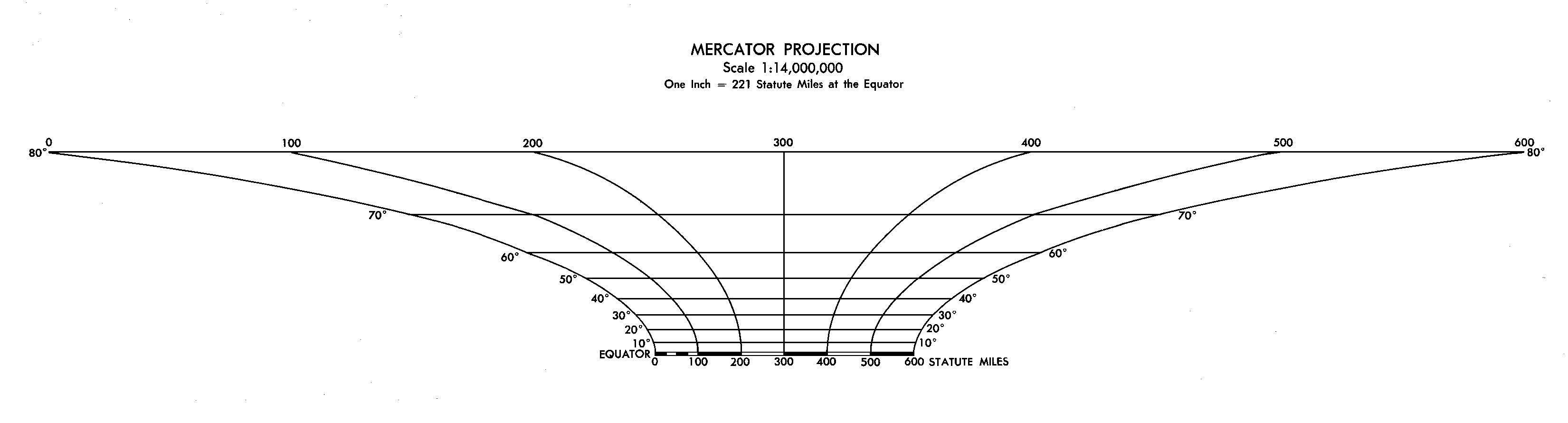
Illustration showing the distortion of country sizes on the Mercator projection. Source: Wikipedia
SizeOnMap.com corrects for this illusion by letting you move countries freely on a consistent projection, making scale comparisons immediate and intuitive.
How it works in practice
The map displays country and continent outlines that can be repositioned interactively. This lets you overlay shapes directly, rather than relying on mental estimation from different map regions. No account, sign-in, or data collection is required.
Sources and Credits
- OpenStreetMap — © OpenStreetMap contributors (ODbL). Base map tiles and underlying geography.
- geoBoundaries — geoBoundaries dataset (CC BY 4.0). Country (ADM0) and subnational (ADM1) administrative boundaries.
- Esri World Continents — Esri World Continents dataset . Continent polygons for large-scale context.
- Mapshaper — mapshaper.org . Used to simplify and optimize geometries for web performance.
- Mercator Projection — Wikipedia article on Mercator projection . Educational reference for understanding map projection distortions.
Because these datasets are aggregated and simplified, you may notice boundary disagreements, missing detail, or distortions inherited from the projection. The tool is for educational comparison, not for legal or survey purposes.
For more detailed information about our data sources, processing methods, and accuracy, please see our Data Sources page.
Contact
Questions, issues, or suggestions: support@sizeonmap.com
Disclaimer
This is a personal, non-commercial project offered as-is. Accuracy is limited by source data and cartographic projection.
Please review our Terms of Use and Privacy Policy.
Support
Help keep SizeOnMap.com free and ad-free for everyone to learn about our world.
Ready to explore?
Start comparing territories and discover the true size of the world
Start Exploring